Take An Unforgettable Drive to Tatie Peak in WA
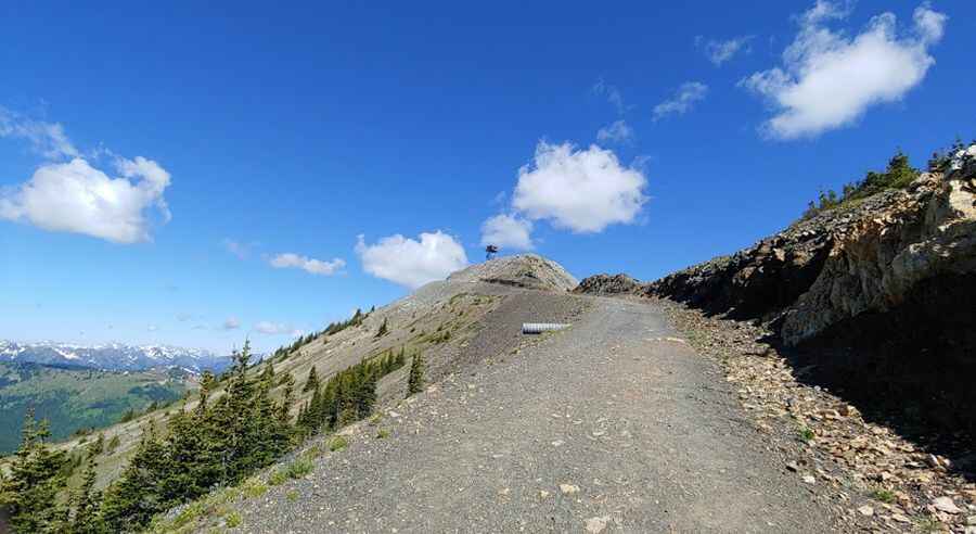
Tatie Peak is a high mountain peak located in Okanogan County, in the U.S. state of Washington. A gravel road on the way to the summit tops out at 1.961m (6,433ft) above the sea level. It's one of the highest roads of Washington.

Set high on the Okanogan Range of the North Cascades, the road is totally paved. It’s called NF-500 (signed for Meadows Campground). The road is usually open from July to October. 4x4 vehicle required. The road features more wash- and wave-board, gullies, pot-holes (even a few tire or axle swallowing ones), and exposed hard rock. Be aware that trailers are not allowed and wider vehicles such as motor homes are highly discouraged due to the steep, narrow roadway, and lack of large turnouts. The drive offers great views of alpine meadows. This narrow road hangs along a cliff wall providing magnificent vistas and breathtaking canyons.
Located within the Okanogan-Wenatchee National Forest, the road is very steep, hitting a 12% of maximum gradient through some of the ramps. Starting at Hart’s Pass, the drive is 2.73km (1.7 miles) long. Over this distance the elevation gain is 77 meters. The average gradient is 2.82%.
Pic: Robnauticus