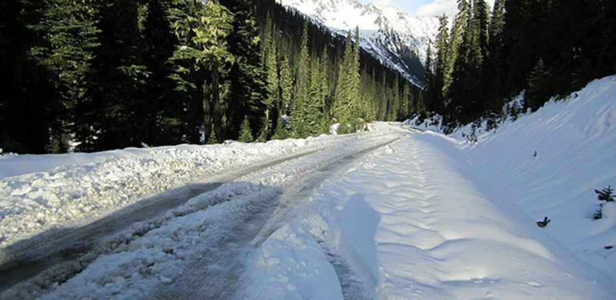
A wild road to Railroad Pass in Canada
Railroad Pass is a mountain pass at an elevation of 1.395m (4,576ft) above the sea level, located in British Columbia, Canada.

Is Railroad Pass in Canada unpaved?
The seasonal dirt road to the summit, also known as Railway Pass or Hurley Pass, is totally unpaved. It’s called Hurley River Forest Service Road. At this elevation it’s the highest point of the road.
How long is Railroad Pass in Canada?
Tucked away on the southwestern part of British Columbia, the road is 42.1 km (26.1 miles) long running from Bralorne to Lillooet Forest Service Road. It’s quite steep in some spots and cliff hanging in others. A high clearance vehicle is required.
Is Railroad Pass in Canada open?
Set high in the Pacific Ranges of the Coast Mountains, the road to the summit is closed in winters. Be prepared to experience all kinds of weather.
More info&pics: http://isurvivedthehurley.com/