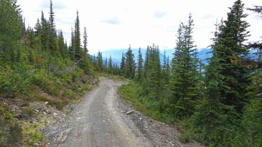
A very bumpy, grueling road to McBride Peak
McBride Peak is a high mountain peak at an elevation of 2.049m (6,722ft) above sea level, located in British Columbia, in Canada. It’s one of the highest roads in the country. It’s said to be the Canada’s Top Climb with an average gradient of 10,81%.
Is the road to McBride Peak unpaved?
The road to the summit is totally unpaved, very steep, narrow and rough, with tight switchbacks. It’s called Rainbow Falls Road, also known as Teare Mountain Road. You’ll need a four-wheel-drive vehicle with good clearance to get up the narrow road. This road should not be attempted with motor homes or trailers.
How long is the road to McBride Peak?
The drive is very steep. Starting from Yellowhead Highway, the ascent is 12.2 km (7.58 miles) long. Over this distance the elevation gain is 1.320 meters. The average gradient is 10,81%, hitting a 22-26% through some of the ramps.
Is the road to McBride Peak open in winter?
Set high in the Robson Valley region, the road to the summit may only be driven in its entirety in the summer (depending on conditions).
Is the road to McBride Peak worth the drive?
There is a viewpoint at the halfway mark that offers stunning views of the Robson Valley, Fraser River, McBride area and the Cariboo Mountains to the south/southeast. Just below the top of McBride peak is the old "Top Lookout" long since abandoned, and built in 1930.
Pic&more info: https://stevensong.com/canadian-rockies/the-north/mcbride-peak/