A Very Relaxing Drive with Nice Views to Col des Mosses in the Swiss Alps
Col des Mosses is a mountain pass at an elevation of 1,452m (4,763ft) above sea level, located in the canton of Vaud, in Switzerland.
Is Col des Mosses Paved?
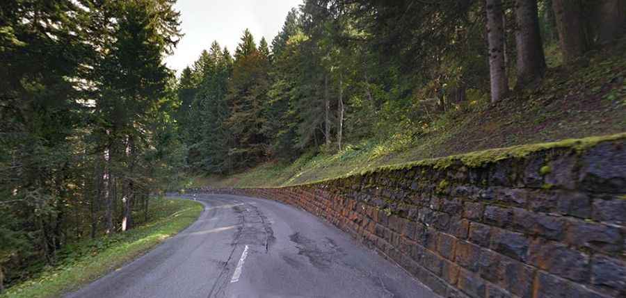
Nestled in the Swiss Alps, the road to the summit is fully paved. It’s called Route 11. It’s a steep drive, hitting a maximum gradient of 8.4% through some of the ramps. The pass has featured many times in the Tour de France race.
How Long is Col des Mosses?
The pass is 32.4 km (20.13 miles) long, running from Château-d'Œx (a municipality in the canton of Vaud, in the district of Riviera-Pays-d'Enhaut) to Aigle (a municipality in the district of Aigle in the canton of Vaud).
How Steep is Col des Mosses?
Starting from Château-d'Œx, the ascent is 14 km long. Over this distance, the elevation gain is 521 meters. The average percentage is 3.7% and the maximum slope is 8%. This route is easier, with better roads generally, but with more traffic and villages.
And starting from Aigle, the ascent is 18.8 km long. Over this distance, the elevation gain is 1,028 meters. The average percentage is 5.5%. The climb up to the col is really fun. Once back into the foothills, it runs through some picture-postcard scenery, through many small villages, forcing your speed down. There is a fabulous stretch through a gorge alongside a wild mountain river just east of Château-d'Œx.
Is Col des Mosses Open in Winter?
Set high in the southwestern part of the country, the road to the pass is usually kept open throughout the year.