Col de la Forclaz in Martigny: A Scenic Mountain Pass in Switzerland's Valais Canton
Col de la Forclaz is a high mountain pass at an elevation of 1.532m (5,026ft) above sea level, located in the district of Martigny in the canton of Valais in Switzerland.
When was the road to Col de la Forclaz built?
Historically, this pass served as a pathway for mule teams and smugglers, runningfrom Martigny into France. Construction commenced in 1827, culminating in the completion of a tunnel in 1836, later expanded in 1905. Initially, the road was exclusive to public transportation and only opened to private vehicles in 1920.
Can you drive through Col de la Forclaz?
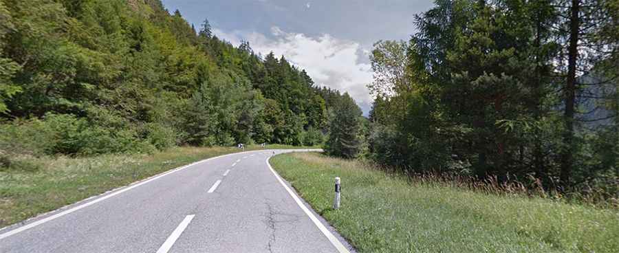
Set high at the northernmost edge of the Massif du Mont Blanc, the road to the summit, known as Route de la Forclaz, is completely paved and well-maintained.
How long is Col de la Forclaz?
The pass is 21.5 km (13.35 miles) long, running from the French border to Martigny-Combe in Switzerland. Its summit hosts a hotel-restaurant, which first opened its doors around 1830 and tends to attract a substantial amount of traffic.
Is Col de la Forclaz steep?
Regarded as a significant milestone in the Tour de France bicycle race, the drive to the pass indeed presents a steep challenge, reaching a maximum gradient of 11.1% in some sections. This brief yet highly steep drive rewards travelers with breathtaking vistas.
Is Col de la Forclaz in Switzerland open?
Perched high in the Swiss Alps, access to the pass is generally open throughout the year. However, temporary closures often occur during winter due to hazardous weather conditions. Therefore, equipping vehicles with snow chains and/or winter tires is commonly required for safe transit.