Flatruet is the highest public road of Sweden
Flatruet is a mountain plateau at an elevation of 964m (3,162ft) above sea level, located in Jämtland County, Sweden. It’s said to be the highest public road in Sweden.
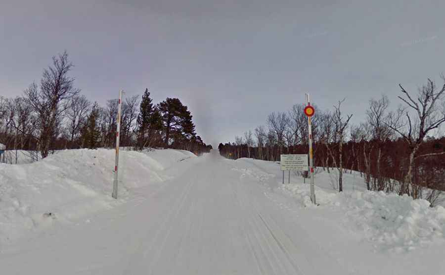
Is the road to Flatruet unpaved?
The road to the summit is totally unpaved (hard-packed gravel). It’s called Flatruetvägen (Z531). At this elevation, it’s the highest public road in the country.
How long is the road to Flatruet?
The road is 37.9 km (23.54 miles) long, running south-north from Funäsdalen to Ljungdalen. The road stretches unpaved through a tundra-like area populated by very few people and a bunch of reindeer.
When was the Flatruet road opened?
The Flatruet road was opened by the King in 1938.
Is the road to Flatruet open?
Conditions are pretty harsh. It can be closed quickly, and weather changes are not uncommon. In winters, the road is always closed from 22:00 to 06:00 hours.
Is the Flatruet road challenging?
It features steep sections, hitting a maximum gradient of 12.3% through some of the ramps. Be careful while driving, as many reindeer roam in the area.
Is the road to Flatruet worth it?
Located near the Norwegian border, the entire road is very picturesque. You can stop your car just about anywhere and get out for a short or long walk in the mountains or along a lake or river. Winding amidst the Scandinavian wilderness, the road offers a magnificent view over the mountains of south Sápmi. Here you find Sweden's best snowkiting with unique nature and smooth winds.