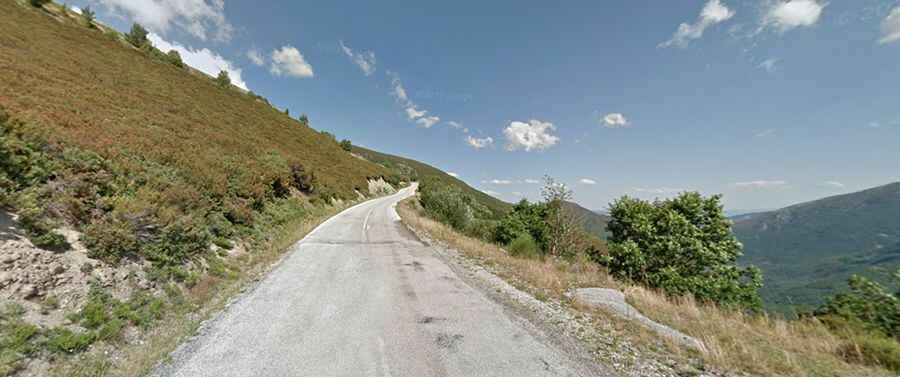
An iconic steep road to Puerto de Ancares
Puerto de Ancares is a high mountain pass at an elevation of 1.670m (5,479ft) above the sea level, located on the border of Galicia and Castilla y León autonomous regions, in Spain’s northwest.

Located within the Serra dos Ancares, a mountain range of the Galician Massif, the road to the summit is totally paved but pretty lonely. It’s called LE-4211. The pass is14.1 km (8.76 miles) long, running from the village of Balouta to Tejedo de Ancares.
The climb has been featured on the Vuelta a España race. Open to traffic throughout the year, may be closed for short periods in winter when the weather is bad. It’s a steep road, hitting a 15.0% of maximum gradient through some of the ramps.