The Ultimate Road Trip To Pico Fuente Nueva in the Canary Islands
Pico Fuente Nueva is a high mountain peak at an elevation of 2.361m (7,746ft) above sea level, located on the island of La Palma in the Canary Islands, Spain. It's one of the highest roads in the country.

How long is the road to Pico Fuente Nueva?
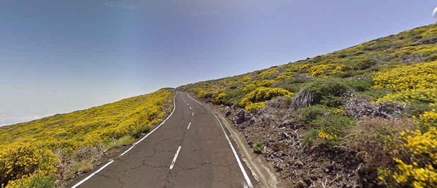
Situated in the Caldera de Taburiente National Park, the road to the summit is fully paved and named Carretera a Fuente Nueva. Starting from the challenging Carretera al Roque de los Muchachos, the road to the summit is 1.7 km (1.05 miles) long. The elevation gain is 113 meters, with an average gradient of 6.64%.
Is the road to Pico Fuente Nueva challenging?
Part of the giant Caldera de Taburiente, one of the Earth's largest and tallest erosion craters, the road presents some challenges with narrow sections, steep segments, and four hairpin turns. Fog, clouds, and snow can make the road hazardous. Those prone to vertigo should prepare accordingly.
Is the road to Pico Fuente Nueva worth it?
The journey is definitely worthwhile, offering incredible views. The location is renowned for its exceptionally clear skies, thanks to favorable climatic conditions and unique geography. From the summit, you can see the islands of Tenerife, El Hierro, and La Gomera. There are many observatories around the summit due to its stable weather and crystal-clear skies. On the mountainside, there's a rock formation resembling a man's face, serenely gazing toward the horizon, as if watching over the island.