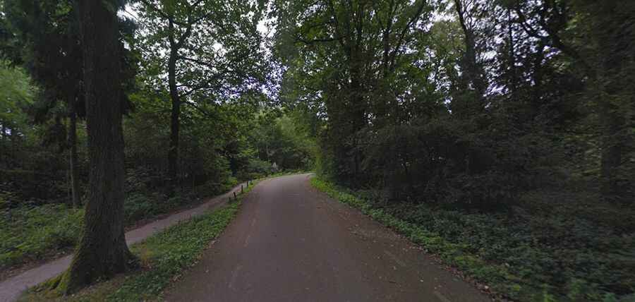
Vaalserberg is the highest road in mainland Netherlands
Vaalserberg is a mountain peak at an elevation of 322.7m (1,059ft) above sea level, located on the tripoint between Germany, Belgium, and the Netherlands.

Where is Vaalserberg?
The peak is noted for being the location of the Drielandenpunt (Three-country point or Tripoint), where the borders of three countries intersect: the province of Limburg (the Netherlands), the region of Wallonia (Belgium), and the state of North Rhine-Westphalia (Germany). Between 1830 and 1919, the summit was a quadripoint. The fourth country in the puzzle was the no-man's-land Moresnet. At this elevation, it’s the highest point in mainland Netherlands. Mount Scenery on the Caribbean island of Saba, with its 887m, is officially the highest point in the country.
Can I drive to Vaalserberg?
The road to the summit, also known as Mount Vaals, is entirely paved. It’s called the Viergrenzenweg in the Netherlands, Route des Trois Bornes in Belgium, and Dreiländerweg in Germany. On the Dutch side, there’s a big parking lot and the 35 metres (115 ft) Wilhelminatoren observation tower with a restaurant. The 50 m Baudouin Tower stands on the Belgian side. The peak is a famous cycling target.