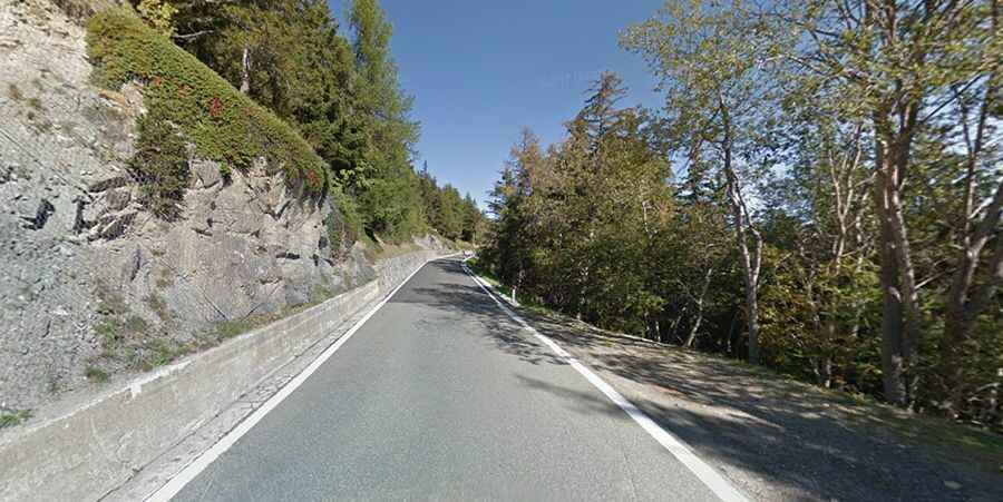
A steep scenic road to Colle di Saint-Panthaleon in Italy
Col de St-Pantaléon is a high mountain pass at an elevation of 1.676m (5,498ft) above the sea level, located in the Valle d'Aosta autonomous region of Italy.

Is the road to Col de St-Pantaleon in Italy paved?
Set high in the Western Alps, the road to the summit, also known as Colle di San Pantaleone, is totally paved. It’s called Strada Regionale 42 (SR42). It’s a consistently steep climb up, but on a good and wide road. Risk of rock slides.
How long is Col de St-Pantaleon in Italy?
The pass is 19.6 km (12.17 miles) long, running from Verrayes to Antey-Saint-Andrè. The road to the summit is very steep, hitting a 13.3% of maximum gradient through some of the ramps. The climb has been featured in the Giro d’Italia race.
Is the road to Col de St-Pantaleon in Italy worth it?
Tucked away on the northwestern part of the country, the road is very scenic and features stunning views. The summit hosts a small chapel, Cappella Di Saint Pantaléon. On the top, stop and admire the panorama of the Marmore valley and the majesty of Mount Cervino. In good weather you get a good glimpse of Matterhorn. There is also an illustrative panel to identify many tops of mountains.