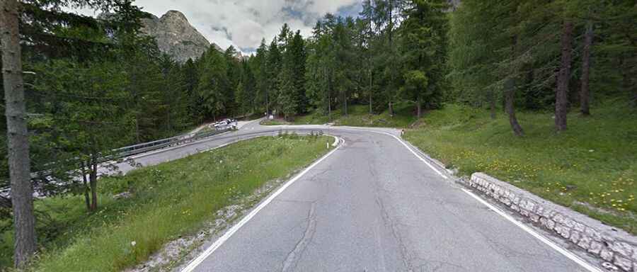
Cimabanche Pass, a paved curvy road to the summit
Passo di Cimabanche is a high mountain pass at an elevation of 1.530m (5,029ft) above sea level, located in the Dolomites, a mountain range located in northeastern Italy.

The pass, also known as Gemärkpass, marks the border between Veneto and Trentino Alto Adige regions. It’s traversed by the paved SS51 road, a pleasant sweeping drive albeit with a few sections with a poor and deformed surface.
The pass is 45.1 km long, running north-south from Cortina d'Ampezzo, a famous tourist resort and ski resort of international fame, in the Ampezzo basin, in the Venetian provinceof Belluno, towards Dobbiaco, located in the Val Pusteria in the autonomous province of Bolzano. On the way north from Cortina after passing the summit you can take a right turn up the Passo Tre Croce. A few meters south of the pass there are three small lakes: Lake Bianco, now dry, to the east, Lake Nero and Lake Rufiedo to the west.
There are 2 routes to reach the summit. Starting from Dobbiaco, the ascent is 16 km long. Over this distance, the elevation gain is 315 meters. The average percentage is 2 %. And starting from Cortina d'Ampezzo, the ascent is 14.9 km long. Over this distance, the elevation gain is 321 meters. The average percentage is 2.2 %. Near the summit are nice views of the Tre Cime di Lavaredo, and it’s possible to reach the Strong Point No. 4 (Blockade Cimabanche Pass). This large bunker, for the most part constructed in the rocks, is part of the Alpine Wall (Vallo Alpino), a defence line constructed in the Italian Alpines by the fascist dictactor Benito Mussolini. The armanant of strong point no. 4 composed of 3 machine guns.