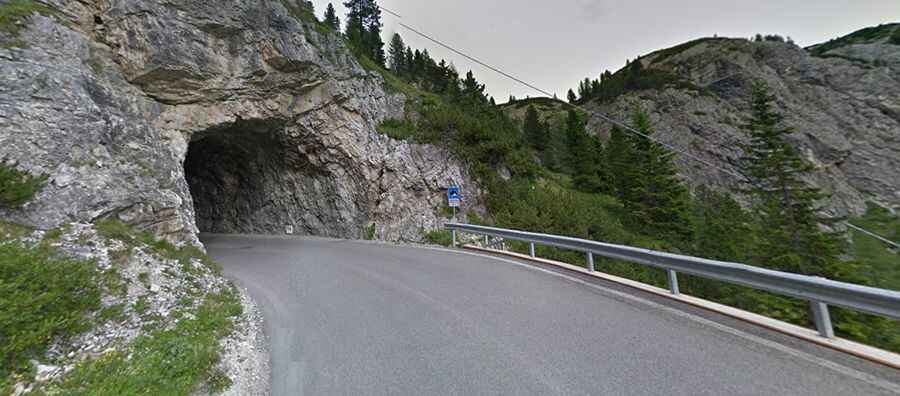
Falzarego Pass is a road with 38 sharp hairpin bends
Passo di Falzarego is a high mountain pass at an elevation of 2,105m (6,906ft) above the sea level, located in the province of Belluno, in the Veneto region of Italy.

Is the road to Falzarego Pass paved?
Set high in the Dolomites, on the northern part of the country, the road to the summit is fully paved. It’s called Strada Regionale 48-SR48 (The Great Dolomites Road). The drive is pretty challenging, with tunnels and 38 steep hairpin bends through stunning scenery. It has endless curves and serpentines that form a fantastic pass road uphill through evergreen forests. This is a good route with a great surface and a combination of hairpins, medium-fast sweepers, and some long straights.
How long is Falzarego Pass?
The pass is 37.9 km (23.54 miles) long, running east-west from Cortina d’Ampezzo to Arabba. The name Falza Rego means "false king" in Ladin. On September 13th, 1909, the road section of the pass was inaugurated. It was the last section of the Great Dolomite Road to be opened. Today it is still regarded as a technical masterpiece of road construction. From the pass, SP24 (Strada provinciale del Passo di Valparola) starts northbound to Val Badia, passing below Sas de Stria and through Valparola Pass.
Why is Falzarego Pass famous?
With a maximum gradient of 12.6% through some of the ramps, the pass is one of the key stages of the Giro d'Italia (Tour of Italy). The area was a hard-fought position between the Austrians and Italians in World War II in the Dolomite war, and it’s still a well-known war memorial. The road offers incredible 360-degree views of the majestic Dolomites.