Pennes Pass is a classic Italian road trip
Passo di Pennes is a high mountain pass at an elevation of 2,211m (7,254ft) above sea level, located in the Trentino-Alto Adige/Südtirol region of Italy.
Where is Pennes Pass?
Set high in the northern part of the country, it is the most direct road between Innsbruck and Bolzano. There is a big parking lot and a restaurant at the summit.
How long is Pennes Pass?
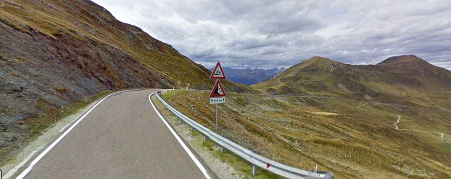
The road to the summit, also known as Penser Joch, is entirely paved. It’s called Strada Statale 508 (SS508). The pass is 28.9 km long, linking the villages of Rio Bianco (Weißenbach) and Vipiteno (Sterzing).
Is Pennes Pass difficult to drive?
The road is pretty challenging, with hundreds of turns and a few hairpin turns. It has a maximum grade of 20.7%. Although it has been widened repeatedly in recent years, the road on the pass is still rather narrow.