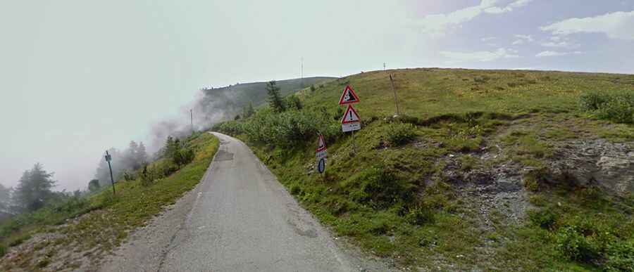
A wild road to Colle di Sampeyre
Colle di Sampeyre is a high mountain pass at an elevation of 2,284m (7,493ft) above the sea level, located in the Province of Cuneo, Piedmont, Italy. The pass connects the Varaita valley and the Maira valley.

The road to reach the pass, located in the Cottian Alps, still remains an adrenaline-pumping journey and is definitely not for the faint of lungs, heart, or legs. This is a very lovely pass with fine views in most directions at the top. Sometimes the view over the narrow and deep valley will cut off your breath. Some parts are a starway to heaven directly into the clouds. The singletrack leads up over 2.000m and it’s dangerous due to lots of gaps in the road and unprotected drops of hundreds of meters.
The road has been featured several times in the Giro d'Italia and it's in dreadful condition. It requires strong nerves to negotiate it. The last 6 kms you will be driving above the timber line in the meadows. The descent to Sampeyre is very dangerous with lot of gaps in the road.
There are 2 possible routes to reach the top. Starting from crossroad in Valle Maira, the ascent is 16.2 km long. Over this distance, the elevation gain is 1.335meters. The average percentage is 8.2 %. Starting from Sampeyre, the ascent is 15.6 km long. Over this distance, the elevation gain is 1.329 meters. The average percentage is 8.5 %. The pass can be reached by the challenging road Varaita-Maira-Kammstraße/Strada dei Cannoni.