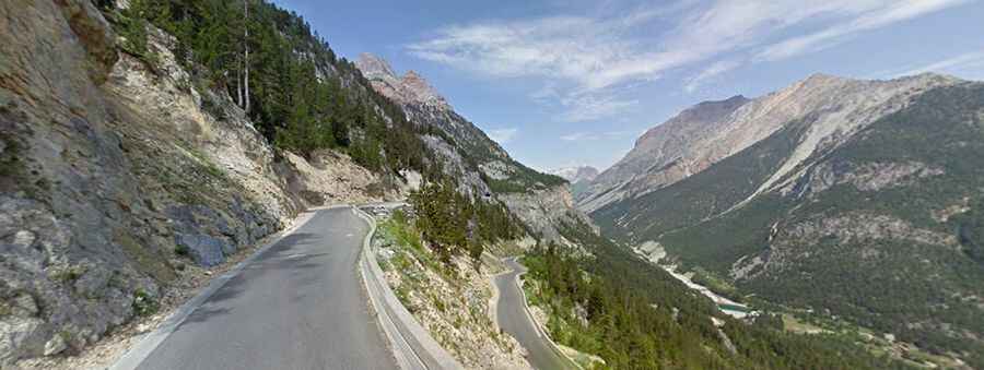
Col de l'Echelle is the lowest mountain pass between France and Italy
Col de l'Échelle is a high mountain pass at an elevation of 1.762m (5,781ft) above sea level located in the Hautes-Alpes department of France.

Where is Col de l'Échelle?
The pass is located in the Provence-Alpes-Côte d'Azur region, in the southeastern part of the country, near the Italian border. This pass and the slightly higher Le Mauvais Pass (1.779m/5,836ft above sea level) are only 2.2 km apart on each side of the flat pass stretch.
Is Col de l'Échelle paved?
Set high in the French Alps, near the Italian border, the road to the summit, also known as Colle della Scala, is totally paved. It’s called D1T. It is said to be the lowest mountain pass between France and Italy.
How long is Col de l'Échelle?
The pass is 9.1 km (5.65 miles) long, running from Névache to the Italian border) on the way to Bardonecchia (in the Metropolitan City of Turin, in the Piedmont region of Italy).
How is the road to Col de l'Échelle?
The route offers pleasant scenery as it ascends to the pass, boasting impressive views from the higher Italian side. Passing through wooded areas, it quickly reaches the summit. There are no dwellings along this stretch, only an abandoned customs house at the peak. While the road is in better condition on the Italian side, caution is advised for two unlit tunnels near the summit. With gradients reaching up to 12.1% on some ramps, the climb to the top is steep. During the summer months, the road sees a fair amount of traffic. At the summit, there is a small parking lot available.