Agnel Pass is one of the European highest paved roads
Col Agnel-Colle dell'Agnello is an international high mountain pass at an elevation of 2.744m (9,003ft) above sea level located on the French-Italian border. It's one of the highest roads of Europe.
Where is Agnel Pass?
Tucked away in the Queyras Regional Natural Park, the pass links the Hautes-Alpes department in the Provence-Alpes-Côte d'Azur region of south-eastern France and the province of Cuneo, in the southwest of the Piedmont region of Italy.
Can you drive to Agnel Pass?
The road to the summit is totally paved. It’s called D205T (in France) and SP251-Strada Provinciale 251 (in Italy). The pass is 35.2 km (21.87 miles) long, running from Molines-en-Queyras (in southeastern France) to Casteldelfino (in northern Italy). It's one of the highest roads of the country.
Is Agnel Pass open?
Set high in the Cottian Alps this road is seasonally closed: it’s usually impassable from late October through late June or early July (depending on snow).
How long does it take to drive Agnel Pass?
To drive the road without stopping will take most people between 1 and 1.2 hours. Despite being the highest international pass of the Alps, it is not heavily used. The summit hosts a tiny parking lot with an incredible panorama.
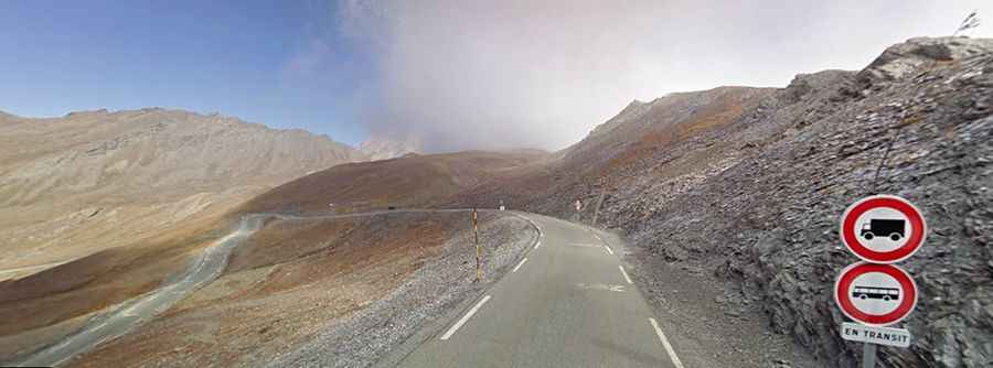
Is Agnel Pass challenging?
The road to the summit is narrow in parts and very steep, hitting a 15% of maximum gradient through some of the ramps. High risk of rock slides. It’s closed to heavy vehicles. It has appeared in the Giro d’Italia and in the Tour de France races. The pass was resurfaced in 2008 for its first appearance in the Tour de France on 20th July during stage 15 of the 2008 edition.