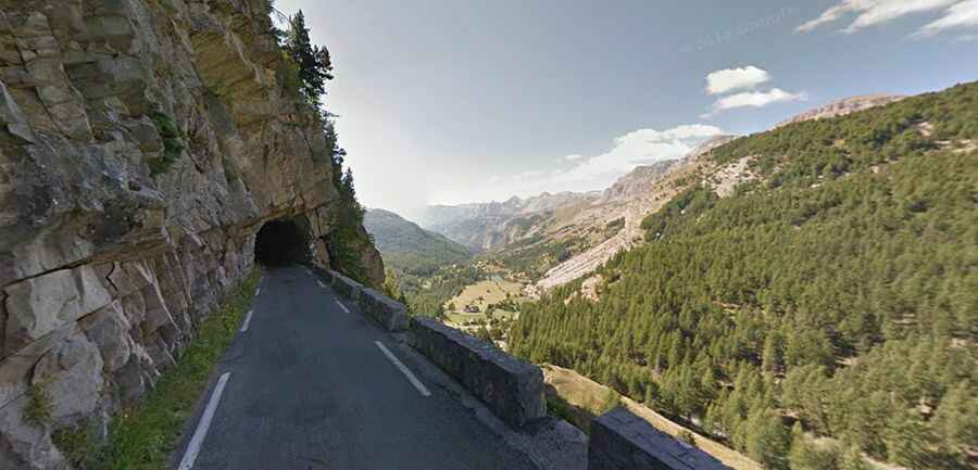
The road to Col de la Cayolle in the Provence will take your breath away
Col de la Cayolle is a high mountain pass at an elevation of 2.339m (7,673ft) above the sea level, located in the Provence-Alpes-Côte d'Azur region of France. It’s one of the French balcony roads.

Where is Col de la Cayolle?
The pass is located in the Ubaye Valley, within the Parc National du Mercantour, on the border of the Alpes-Maritimes and Alpes-de-Haute-Provence departments, on the southeastern part of the country. The Var, which flows into the sea near Nice, has its source not far from the pass. It lies parallel to the Col d'Allos and Col de la Bonette.
How long is Col de la Cayolle?
The road to the summit is totally paved but pretty narrow. It’s called D2202, part of the scenic Route des Grandes Alpes. The pass is 40.2km (24.97 miles) long, running north-south from Uvernet-Fours (in the Alpes-de-Haute-Provence department) to Entraunes (in the Alpes-Maritimes department).
Is Col de la Cayolle open?
Set high in the Alps, within, the road is totally closed from October to June-July. The summit hosts a mountain refuge and a parking lot. The pass is closed to heavier vehicles and caravans.
When was Col de la Cayolle built?
Constructed by the army for military reasons, the road was completed in 1914.
Is Col de la Cayolle challenging?
The climb has been featured in the Tour de France race. It’s said to be one of the most beautiful climbs in Europe. The road to the summit is steep, hitting a maximum gradient of 10% through some of the ramps. It gets a decent amount of traffic in summer. A section of the road through Gorges du Bachelard, north of the pass, is one of the most famous balcony roads in the country.