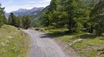
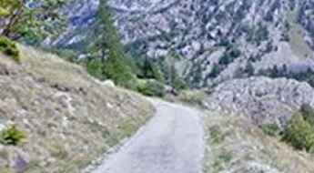
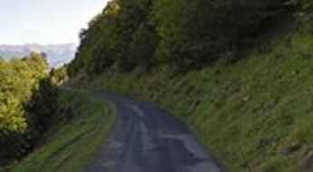
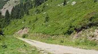
What are the most spectacular roads in France?
Set against the backdrop of Western Europe, France boasts an intricate tapestry of roads that offer some of the most breathtaking drives globally.
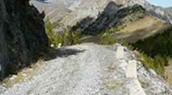
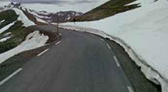
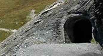
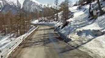
Enthusiasts can traverse the famed balcony roads, which cling perilously to cliff faces, ascend the serpentine bends of Col du Chaussy, navigate through the historical Tunnel de Parpaillon, or challenge themselves on the towering peaks of Col de l'Iseran, Col du Jandri, and Col du Télégraphe. From the undulating vineyards and sunlit fields to majestic mountains and turquoise coastlines, France's diverse topography is a treasure trove for those keen on picturesque journeys. The iconic Route Napoleon meanders through the heart of the country, while the shimmering Corniche d'Or offers unparalleled views of the Mediterranean's azure embrace.
But France's roads are more than just pathways carved into its stunning landscapes. They are gateways to its rich tapestry of history, culture, and traditions, from medieval towns and alpine villages to sun-soaked Mediterranean beaches. So, the next time wanderlust calls you to the charm of France, rev up your engine and set forth on an adventure across its most captivating routes.
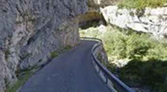
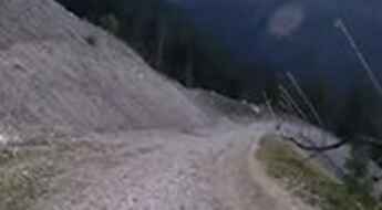
The narrow D102 is a dangerous balcony road
D102 is a short mountain road located in the Alpes-de-Haute-Provence department, in the region of Provence-Alpes-Côte d'Azur in southeastern France. It’s one of the most scenic French balcony roads.
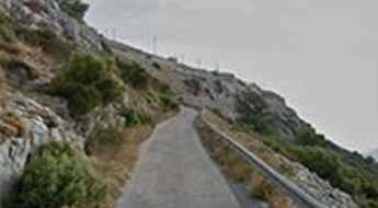
Mont Caume, a narrow and winding mountain road
Mont Caume is a mountain pass at an elevation of 801m (2,627ft) above the sea level, located in the Var department in the Provence-Alpes-Côte d'Azur region in southeastern France.
Col de Furfande
Col de Furfande is a high mountain pass at an elevation of 2.500m (8,202ft) above the sea level, located in the Hautes-Alpes department in the Provence-Alpes-Côte d'Azur region of south-eastern France.
Col de Savel
Col de Savel is a mountain pass at an elevation of 972m (3,188ft) above the sea level, located in the Alpes-Maritimes department in southeastern France.
Col de Bousson
Col de Bousson is an international high mountain pass at an elevation of 2.154m (7,066ft) above the sea level, located in the Cottian Alps, between France and Italy.
Vallon de la Gordolasque
Vallon de la Gordolasque is a high mountain pass at an elevation of 1.689m (5,541ft) above the sea level, located in the Alpes-Maritimes department in southeastern France.
Hourquette d'Ancizan
Hourquette d'Ancizan is a high mountain pass at an elevation of 1.564m (5,131ft) above the sea level, located in the French Pyrenees in the department of Hautes-Pyrénées.
Pas de l'Âne
Pas de l'Âne is a high mountain pass at an elevation of 2.091m (6,860ft) above the sea level, located in the Savoie department in the Auvergne-Rhône-Alpes region in south-eastern France.
Col de la Pertie
Col de la Pertie is a mountain pass at an elevation of 972m (3,188ft) above the sea level, located in the Drôme department in southeastern France.
Mont Tauch
The Mont Tauch is a mountain pass at an elevation of 871m (2,857ft) above the sea level, located in the Aude department in southern France.
Col de la Pousterle
Col de la Pousterle is a high mountain pass at an elevation of 1.763m (5,784ft) above the sea level, located in the Hautes-Alpes department in southeastern France.
Cugnai Lift
Cugnai Lift is a chair lift for skiers at an elevation of 2.884m (9,471ft) above the sea level, located in the Savoie department of southeastern France. It's one of the highest roads of Europe.
Fort de Ronce
Fort de Ronce is a high mountain fortress at an elevation of 2.294m (7,526ft) above the sea level, located in the Savoie department in the Rhône-Alpes region in south-eastern France.
Coll de Creu
Coll de Creu is a high mountain pass at an elevation of 1.708m (5,603ft) above the sea level, located in the Pyrenees, a range of mountains in southwest Europe that forms a natural border between France and Spain.
Col de la Baume
Col de la Baume is a mountain pass at an elevation of 1.068m (3,503ft) above the sea level, located in the Alpes-de-Haute-Provence department in southeastern France.
Col de Casardo
Col de Casardo is a mountain pass at an elevation of 1.093m (3,585ft) above the sea level, located in the Haute-Corse department of France on the island of Corsica.
Lac de Bious-Artigues
Lac de Bious-Artigues is a high mountain lake at an elevation of 1.416m (4,646ft) above the sea level, located in Pyrénées-Atlantiques, Pyrénées, southwestern France.
Col de Saint-Alexis
Col de Saint-Alexis is a mountain pass at an elevation of 1.222m (4,009ft) above the sea level, located in the department of Drôme in southeastern France.
Col de Castellaras
Col de Castellaras is a mountain pass at an elevation of 1.248m (4,094ft) above the sea level, located in the Alpes-Maritimes department in southeastern France.
Col de Muse
Col de Muse is a mountain pass at an elevation of 932m (3,057ft) above the sea level, located in the Drôme department in the Rhône-Alpes region in southeastern France.
Col du Palet
Col du Palet is a high mountain pass at an elevation of 2.658m (8,720ft) above the sea level, located in the Savoie department in the Auvergne-Rhône-Alpes region in southeastern France. It’s one of the highest mountain roads of the country.
Pas du Roc
Pas du Roc is a high mountain pass at an elevation of 2.339m (7,673ft) above the sea level, located on the Plateau des Glieres area in Haute-Savoie department of France.
Lac de Bise
Lac de Bise is a high mountain lake at an elevation of 1.502m (4,928ft) above the sea level, located in the Haute-Savoie department in the Rhône-Alpes region in south-eastern France.
Col de Sarraut
Col de Sarraut is a mountain pass at an elevation of 980m (3,215ft) above the sea level, located in the Alpes-de-Haute-Provence department in southeastern France.
Bellevarde
Bellevarde is a high mountain peak at an elevation of 2.783m (9,130ft) above the sea level, located in the Savoie department, in the Auvergne-Rhône-Alpes region of the French Alps. It’s one of the highest roads of Europe.
Col des Iris
Col des Iris is a high mountain pass at an elevation of 2.030m (6,660ft) above the sea level, located in the Hautes-Pyrénées department, in south-western France.
Col de Gembre
Col de Gembre is a high mountain pass at an elevation of 1.635m (5,364ft) above the sea level, located in the Hautes-Pyrénées department in south-western France.
Col des Garcinets
Col des Garcinets is a mountain pass at an elevation of 1.185m (3,887ft) above the sea level, located in the Hautes-Alpes department in southeastern France.
Col de Menté
Col de Menté is a mountain pass at an elevation of 1.347m (4,419ft) above the sea level, located in the Haute-Garonne department in southwestern France.
Col de la Vanoise
Col de la Vanoise is a high mountain pass at an elevation of 2.522m (8,274ft) above the sea level, located in Savoie, France.
Col du Sappenay
Col du Sappenay is a mountain pass at an elevation of 897m (2,942ft) above the sea level, located in the Jura Mountains, in France.
Cima Marta
Cima Marta is a high mountain pass at an elevation of 2.138m (7,014ft) above the sea level, located in the Frenc Ligurian Alps, near the Italian border.
Col de la Joux Verte
Col de la Joux Verte is a high mountain pass at an elevation of 1.760m (5,774ft) above the sea level, located n the Alps in France.
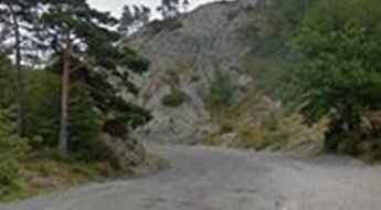
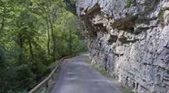
Gorges d'Omblèze, a French balcony road
Gorges d'Omblèze is a spectacular canyon carved into the limestone by La Gervanne river in the Drôme department in southeastern France. It’s one of the French balcony roads.
Mont Agnelet
Mont Agnelet is a high mountain pass at an elevation of 2.201m (7,221ft) above the sea level, located in the Mercantour massif of the Maritime Alps, in southern France.
Fortin du Restefond
Fortin du Restefond is an old military building at an elevation of 2.558m (8,392ft) above the sea level, located in the French Alps, within the Mercantour National Park in the department of Alpes-de-Haute-Provence.
Col du Lac Blanc
Col du Lac Blanc is a high mountain peak at an elevation of 2.803m (9,196ft) above the sea level, located in the Isère department in southeastern France. It’s one of the highest roads of Europe.
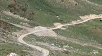
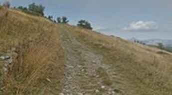
The unpaved road to Colle della Rho
Col de la Roue - Colle della Rho is an international high mountain pass at an elevation of 2.534m (8,313ft) above the sea level located on the Italian-French border.
Col des Rochilles
Col des Rochilles is a high mountain pass at an elevation of 2.496m (8,188ft) above the sea level, located in the Savoie department in the Rhône-Alpes region in south-eastern France.
Fort de Roche la Croix
Fort de Roche la Croix is a high mountain military fortress at an elevation of 1.906m (6,253ft) above the sea level, located in the Alpes-de-Haute-Provence department in southeastern France.
Croix de Toulouse
Croix de Toulouse is a high mountain pass at an elevation of 1.962m (6,437ft) above the sea level, located in the Hautes-Alpes department in the Provence-Alpes-Côte d'Azur region in southeastern France.
Porte de Cristol is an awe-inspiring track in the Alps
Porte de Cristol is a high mountain peak at an elevation of 2.483m (8,146ft) above the sea level located in the Hautes-Alpes department in the Provence-Alpes-Côte d'Azur region in southeastern France.
Col de Pinpinier
Col de Pinpinier is a mountain pass at an elevation of 1.130m (3,707ft) above the sea level, located in the Alpes-Maritimes department in the Provence-Alpes-Côte d'Azur region of South-eastern France.
Sainte-Anne-la-Condamine
Sainte-Anne-la-Condamine is a ski station at an elevation of 1.827m (5,994ft) above the sea level, located in the Alpes-de-Haute-Provence department in southeastern France.
Col des Encombres
Col des Encombres is a high mountain pass at an elevation of 2.367m (7,765ft) above the sea level, located in the Savoie department in the Auvergne-Rhône-Alpes region in south-eastern France.
