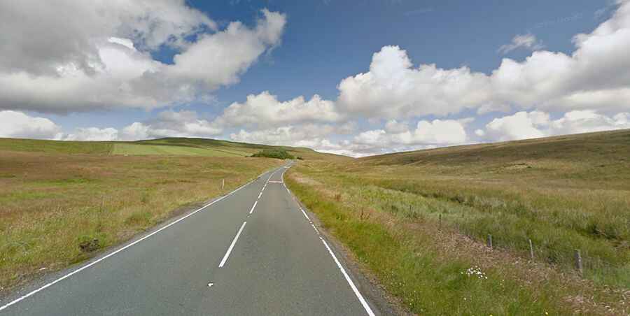
A road with challenging winter conditions to Newby Head Pass
Newby Head Pass is a mountain pass at an elevation of 440m (1,443ft) above sea level located in North Yorkshire, England.

Where is Newby Head Pass?
The pass is located on the boundary between the Craven and Richmondshire districts, in the northern part of the country.
Why is it called Newby Head Pass?
The pass was named after the Drovers Inn at Newby Head at the top of the pass. It was the fourth-highest inn in England.
Is Newby Head Pass paved?
The road to the summit is fully paved. It’s called B6255.
How long is Newby Head Pass?
The pass is 26.55km (16.5 miles) long, running from Ingleton (Craven district) to Hawes (Richmondshire district). The road to the summit is very steep, with gradients reaching up to 9.4% through some of the ramps.
Is Newby Head Pass open?
The road is usually open all year round, but it can be closed for long periods during the winter months when ice makes the bends treacherous.