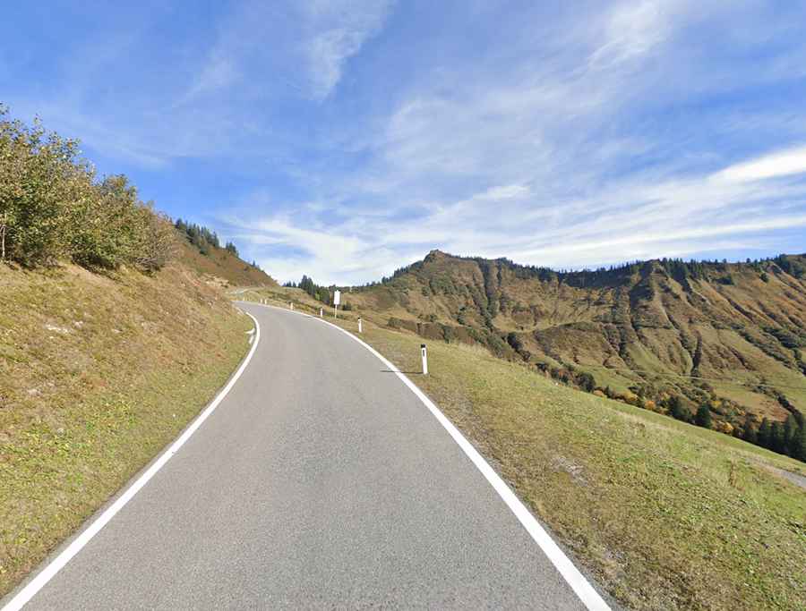
An iconic paved road to Furkajoch in the Austrian Alps
Furkajoch is a high mountain pass at an elevation of 1,761 m (5,778 ft) above sea level, located in the westernmost Austrian state of Vorarlberg.
Where is Furkajoch?
Located in the western part of the country, the pass links the valley of the Bregenzer Ach and the Frutz River valley.
Is the road to Furkajoch paved?
The road through the summit is fully paved, yet steep and narrow in parts. It’s called L51. It has a risk of rock slides.
How long is the road to Furkajoch?
The road is 29 km (18 miles) long, running west-east from Rankweil (the second largest town in the district Feldkirch) to Damüls (a popular tourist resort in the district of Bregenz, known for its abundance of snow). In 2006, Damüls was awarded the honorary title "the snowiest village in the world."
Is the road to Furkajoch closed in winter?
Set high in the Austrian Alps, the road is closed in winter.