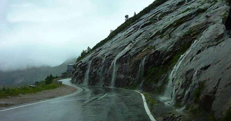
Driving the curves and tunnels of Malta High Alpine Road
Malta-Hochalmstraße is a very scenic drive full of curves and tunnels, located in the Carinthia state of Austria.

Where is the Malta High Alpine Road?
The toll road is located to the north of Malta, a village in Spittal an der Drau District, in the Carinthia state, in the southern part of the country.
Is the Malta High Alpine Road open?
Set high in the Hohe Tauern range of the Alps, this road is open from May to October, between 7 am and 6 pm.
How long is the Malta High Alpine Road?
The road is totally paved. It’s 14.4km (8.94 miles) long, leading to Kölnbreinsperre, Austria's highest concrete dam, at 1.902m (6,240ft) above sea level. It was originally built as a construction road for the Kölnbreinsperre and later opened to normal traffic as a tourist attraction.
Is the Malta High Alpine Road challenging?
The drive is breathtakingly beautiful but not easy, turning the journey into a driving pleasure for motorists and motorbike riders. Following the Malta river, the road comprises six peculiar natural stone tunnels carved into the rock and some switchbacks. The maximum slope is 13%. On some uphill stretches with hairpin bends, the road is only one-lane. Two traffic lights at the narrowest points guarantee the safety of the drivers.
Pic: Arvydas B