Take the Wild Sukhumi Military Road and Discover Klukhori Pass
Klukhorskii Pass is a high mountain pass at an elevation of 2.851m (9,353ft) above sea level, located in Abkhazia, an autonomous republic of Georgia.
When was the Klukhori Pass built?
Located near the stunning Oz.klukhor (Klukhor lake), the road to the summit, also known as Klukhorskii Pass, is the infamous SH10 (Sukhumi Military Road), a path leading from Northern Caucasus of Russia to the Black Sea coast. It follows the ancient Darin Path from Alans to Byzantines. During the Soviet Era, the popular All-Union Tourist Route #43 passed along Sukhum Road and was an important and popular traveling object. The modern road was built in the second half of the 19th century, during the Russo-Turkish War and the campaign to conquer the mountain tribes of the Caucasus.
How long is the road to Klukhori Pass?
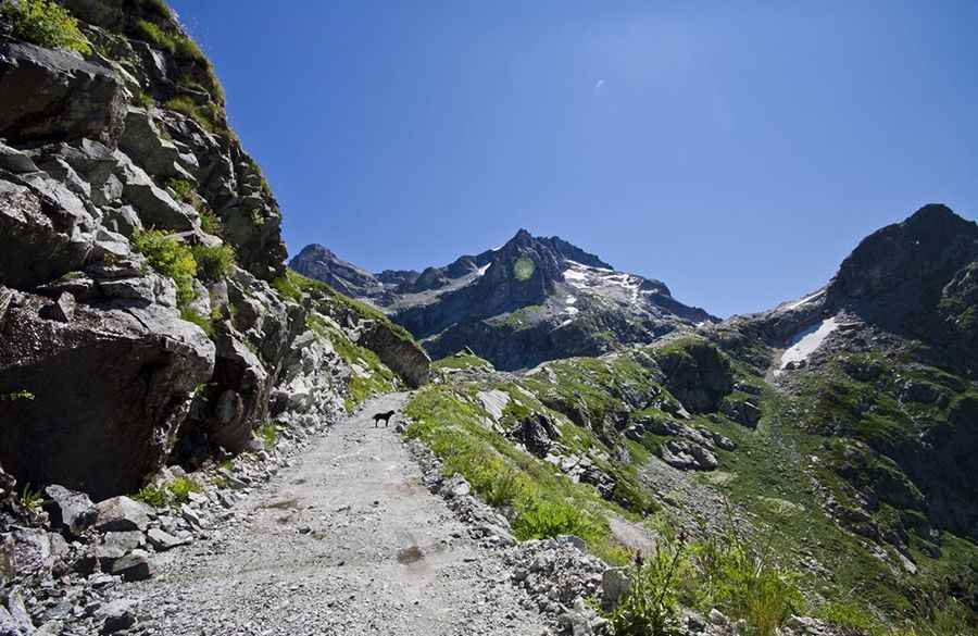
This historical road through the Greater Caucasus is 337km (209 miles) long connecting the city of Cherkessk (Karachai-Cherkess Autonomous Oblast) with the city of Sukhumi (Abkhazian ASSR), with a break between Teberda and Azhar. Tucked away in the northwestern part of the country, the road is non-maintained anymore. It connected the North Caucasus and Asia Minor for five thousand years. During the "great migration period" (4th-7th centuries) this was one of the key routes from the Byzantine Empire to Central Asia bypassing the Caspian Sea. The Military-Sukhum road, historically known as the Misimiyanskaya Road, or the Ancient Abkhaz Way, passes through the mountain resort of Teberda and the Dombai fields, which are outstanding for their beauty. The Sukhumi Military Road is very picturesque, and tourism has developed along it.
Pic: Евгений Перцев