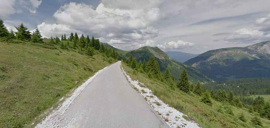
The road to Cakor Pass was built 100 years ago
Čakorpass is a high mountain pass at an elevation of 1,844m (6,049ft) above sea level, located in the municipality of Plav, in Montenegro, near the border with Kosovo.

Where is Cakor Pass?
The road through the pass, also known as Prevoj Čakor and Qafa e Çakorrit, provides a connection between the Plav area in Montenegro and the town of Peja/Peć in north-western Kosovo.
When was the road through Cakor Pass built?
The road was inaugurated on 17th September 1925 by Alexander I of Yugoslavia. It is planned to be bypassed by a four-kilometer-long motorway tunnel.
Can I drive through Cakor Pass?
The road was closed during the Kosovo War in 1999 until 2011. Today, the transition to Kosovo is blocked by a tank barrier.
How long is Cakor Pass?
Set high in the Prokletije mountain range, the pass is 37.3km (23.17 miles) long, running west-east from Murino (a village in the municipality of Plav, Montenegro) to Kuqishtë (a village in the municipality of Peja, Kosovo).
Is Cakor Pass paved?
On the Montenegrin side, the road to the summit is mostly paved and navigable by all passenger vehicles. It's called M9. The road is pretty narrow and steep, hitting a maximum gradient of 18% through some of the ramps.
On the Kosovan side, the road is totally unpaved. A 4x4 vehicle is required. Due to the blocks on the road, it’s not possible to complete the whole drive between both countries.