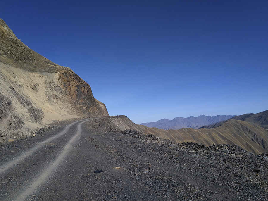
How To Have The Ultimate Road Trip To Bogovatchosgele Pass
Pereval Bogovatchosgele is a high mountain pass at an elevation of 2,972m (9,750ft) above sea level, located in the region of Mtskheta-Mtianeti, in Georgia. It's one of the highest roads in Europe.

Where is Bogovatchosgele Pass?
Set high in the Caucasus mountains, the pass, also known as Roshka Pass, is located north of Tbilisi near the Russian/Ingush border and separates the Georgian Arkhoti Valley from the rest of the country.
When was the road to Bogovatchosgele Pass built?
The road to the summit was built in July 2018 to connect two villages in the Arkhoti valley, Akhieli and Amgha, to Roshka village and the rest of the country.
Can I drive through Bogovatchosgele Pass?
The road to the summit is entirely unpaved, and a 4x4 vehicle is required. It is narrow in parts, impassable for two vehicles, with dangerous drop-offs, and prone to landslides, avalanches, and seasonal closures. Although at first glance, the road looks decent, higher up it has major cracks in the surface created by excess rainwater.
How long is the road to Bogovatchosgele Pass?
The pass is 33.1 km (20.56 miles) long, running south-north from Ghelisvake, near Roshka village, to Akhieli and Amgha. It’s one of the highest roads in Georgia.
Road suggested by: Hugh Wilson
Pic: Jelger Groeneveld, CC BY 2.0 <https://creativecommons.org/licenses/by/2.0>, via Wikimedia Commons