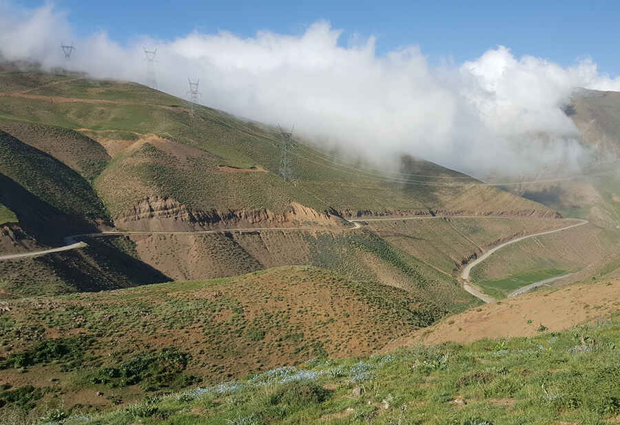
Traversing Kandovan Pass: Navigating Iran's Majestic Mountain Road
Perched at an elevation of 2,989m (9,806ft), Kandovan Pass is a significant mountain landmark located on the cusp of Alborz and Mazandaran provinces in Iran. It's one of the highest roads of the country.

Kandovan Pass Length: A Journey Through Iran's Landscape
Meandering through the Central Alborz mountain range, the route to Kandovan Pass, commonly referred to as Kandevān Pass, stretches for 12.1 km (7.51 miles). Though mainly unpaved, it's accessible to most passenger vehicles and offers captivating vistas between the Karaj and Chālūs rivers.
Navigating Kandovan Pass: A Driver's Guide
Situated in Iran's northwestern region, the road presents a challenging drive, with parts boasting a steep 8% gradient. Travelers should note its inaccessibility typically from late October to late June or early July due to weather conditions.
History in the Hills: The Kandovan Tunnel Story
1939 saw the construction of the Kandovan Tunnel, an integral segment of the Chalus Road, ranking among Iran's most frequented pathways. The tunnel's creation, spanning from 1935 to 1939, offered an alternative to the challenging climb.
Pic: mohammad ali Dabbaghchian