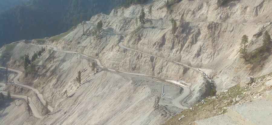
Mughal Road, a Dizzying Experience
Mughal Road is a very scenic and challenging journey in the heart of the Pir Panjal Range, in Jammu and Kashmir, India.

The road is 82.3 km long. It links Bafliaz, a town in the Poonch district, and Shopian, in the Kashmir valley. The road is paved. There are sheer drops virtually along the entire route and enough hairpins to make a whirling dervish dizzy. The trail was used by Mughal emperors to conquer and travel to Kashmir during the 16th century. Closed during several centuries, the road was planned in 1950’s and finished in 1979. In 2005 it was reconstructed into a wide and smooth motorable road and traversing it is simply uplifting.
Its highest elevation is at Pir Ki Gali Pass, at 3.485m (11,433ft) above the sea level. Originally called the Old Imperial Road, it was later known as Namak Road (Salt Route). The road is a joy to ride on and there is very little traffic usually. You will need to register car and passenger details often, so carry all vehicle documents and personal ID. Be prepared for the altitude, and do stop as often as you can to enjoy the beauty of this road. The road is pretty steep with hundreds of turns. Historic Mughal monuments can be seen down below this road and it has turned out to be a treat for visitors.
Pic: Salman Khan