Driving the exciting road to the top of Nakee La Pass
Nakee La is a high mountain pass at an elevation of 4.769m (15,647ft) above sea level, located in the Ladakh region of the Indian state of Jammu and Kashmir.
Is Nakee La paved?
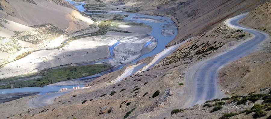
The road to the summit is mostly paved. It’s called Manali-Leh-Highway, on the way to Manali from Taglang La. Nakee La is the third of the five passes to be crossed while traveling from Manali to Leh. You've got to be really careful with the wheels because of pathetic road conditions that could test the patience of even the most seasoned drivers. But you really deserve a medal if you've driven on the road.
How long is Nakee La?
Set high in the Zanskar Range, the pass is located between Sarchu and Pang. The ascent to the pass is called 22 Gata loops. It’s a 23km ascent from 4.190m (13,746ft) to 4.650m (15,255ft) above sea level, via 22 hairpin bends. The terrain is very dry after the pass, with no streams or rivers en route.
Is Nakee La Pass haunted?
The road is said to be haunted by a ghost of a tourist who was buried here. The ghost is said to be of a trucker who was stranded on the highway and died due to thirst and hunger. It is said that he was traveling late in the season and while driving up the loops, encountered a snowstorm. The storm was so fierce that it forced the highway to be closed and the poor trucker was left alone. He waited for days for help to arrive and eventually died just before the top. People offer cigarettes and mineral water on the spot and then carry on with their journey. There is nothing really special about the pass and most people don’t even notice while crossing it.
Pic: Vipin Vasudeva