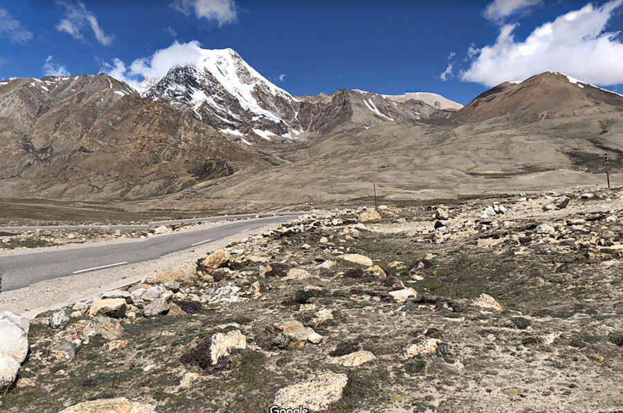
A paved road to the top of Dongkha La Pass
Dongkha La is a high mountain pass at an elevation of 5.492m (18,018ft) above the sea level, located in the state of Sikkim, India, near the Chinese border. It’s one of the highest roads of the country.

Is Dongkha La paved?
Set high in the Sikkim Himalayan region, the road to the summit, also known as Donkia La, was recently paved. It runs north-south from Kerang to Yumesodong or Zero Point.
Is Dongkha La worth it?
Located to the north of the Kangchengyao range, the splendid and scenic beauty of the place is breathtaking. Atop the mountain pass one can capture the picturesque Tibetan plateau. The drive provides stunning views of Tso Lhamo Lake, a high mountain glacial lake.
Is Dongkha La open?
Remember road conditions can change very quickly in winters. The pass is inaccessible during winters (November to February) and monsoons (June to September). Located about 4 kilometers from India-China border, the pass is controlled by the Indian Army and obtaining the permit for it is next to impossible. It regularly gets used by Indian Army vehicles. While Indian tourists are allowed to travel through the pass, foreigners need to get a special permit from the Ministry of Home Affairs in Delhi.
Is Dongkha La remote?
Due its remoteness, keep an eye on your fuel levels. You may not find food in proximity here so be well stocked. In case of a breakdown, there is very little in the way of passing traffic or inhabitants around, and no cell phone service in parts.
Pic: Viren Kapoor