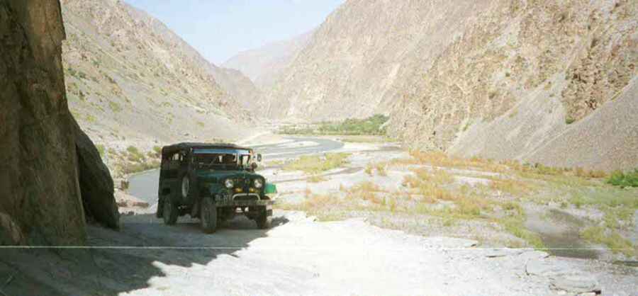
The ultimate road trip to the legendary Dorah Pass
Dorah Pass is an international high mountain pass at an elevation of 4,538m (14,888ft) above sea level, located on the border of Afghanistan and Pakistan.

Where is Dorah Pass?
Set high in the Hindu Kush mountain range, the pass, also known as Durah Pass, links the Badakhshan Province in northeastern Afghanistan and the Chitral District of the Malakand Division, Khyber-Pakhtunkhwa in Pakistan.
Why is Dorah Pass famous?
This pass played an important role in the war, serving as a crucial supply route from Pakistan to Afghanistan. During the Soviet invasion of Afghanistan, the pass gained significance as the Soviets struggled to impede the movement of arms and individuals across it. A large majority of the Munji-speaking population in Afghanistan sought refuge in Chitral across the border amid the War in Afghanistan.
How long is the road through Dorah Pass?
The road to the summit is totally unpaved, suitable for 4x4 vehicles only, and accessibility is largely limited to the summer season. The pass is 51.8 km (32.18 miles) long, running from Sanglich (in Badakhshan Province in northeastern Afghanistan) to Imirdin (Chitral, Khyber Pakhtunkhwa in Pakistan).
Is driving to Dorah Pass challenging?
Certainly, you would need to thoroughly check the current conditions before driving this road. It is advisable to contact your embassy in Kabul as they have the most reliable information regarding terrorist attacks, ongoing armed conflict, the risk of kidnapping, and the high crime rate.
Pic: http://photos1.blogger.com/x/blogger/7461/439/1600/793372/garam%20chasma.jpg