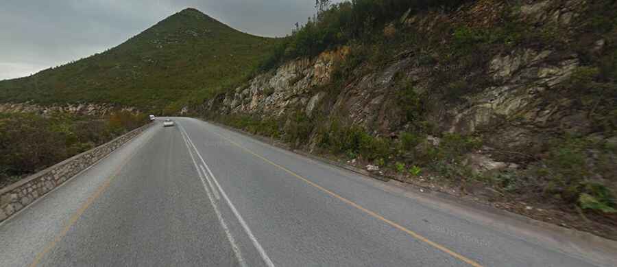
Outeniqua Pass offers spectacular views changing at every corner
Outeniqua Pass is a mountain pass at an elevation of 800m (2,600ft) above the sea level, located in the Western Cape province of South Africa.

Is the road through Outeniqua Pass paved?
Set high in the Outeniqua Mountains, the road to the summit, also known as Outeniekwapas, is a two-lane tar road in excellent condition. It’s called N9/N12 national road and provides an alternative to the narrow and steep Montagu Pass.
How long is Outeniqua Pass?
The pass is 18.2 km (11.30 miles) long from Oudtshoorn (a town in the Klein Karoo area) to George. The road was constructed between 1943 and 1951 just after the Second World War, built by the labor of Italian prisoners of war. The pass has been upgraded twice since then. It carries a high volume of commercial traffic; trucking accidents close the pass from time to time.
How challenging is the road through Outeniqua Pass?
The road is winding (with around 40 curves) and steep, hitting a maximum gradient of 1:10 through some of the turns. It is in good condition but is frequently shrouded in mist or falls above the cloud base. Rockfalls cause massive damage to roads and put motorists' lives in grave danger. In wet weather, always be aware of this possibility. The upper reaches of the pass are frequently wet, subject to heavy rainfall, and sometimes dangerous. Obey the speed limits and there should be no issues.
Is Outeniqua Pass worth it?
Around the summit, there are three small parking lots with stunning views. The views from the laybys are worth stopping for. At the viewpoints, you can see over George all the way to the Indian Ocean, so better choose a clear day to complete the drive.