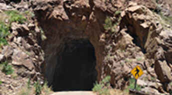
Gilman Tunnels take you through the Jemez Mountains of NM
Tucked away in northern New Mexico’s Jemez Mountains, in the USA, the Gilman Tunnels, blasted out of the rock in the 1920s, were originally used for a logging railroad and are quite high. The tunnels have been the filming locations of many Hollywood hits.
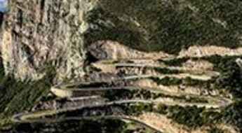
The beautiful precipice road to Serra da Leba
Serra da Leba is the name of a mountain range located on the boundary of Huíla and Namibe provinces of Angola. It’s one of the famous hairpinned roads in the world.
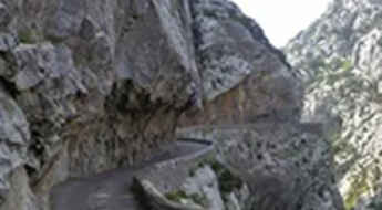
A wild balcony road through Gorges de Galamus in France
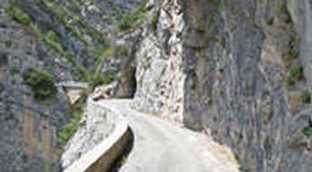
Gorges de Galamus is a very scenic canyon located on the boundary of Aude and Pyrénées-Orientales departments, of the region of Occitanie, in France. It is one of the most famous French balcony roads.
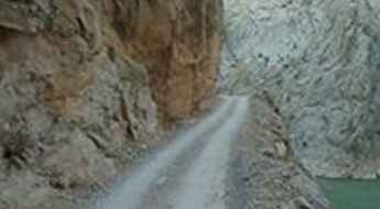
Dare to drive the dangerous Kemaliye Stone Road above the Euphrates river
Kemaliye Taş Yolu (Kemaliye Stone Road) is one of the most extreme roads in the world. Located in Turkey, this handmade road is for drivers with strong nerves only, with drops of hundreds of meters unprotected by guardrails and 38 unlit tunnels. The construction of the road started in 1870 and was finished in 2002.
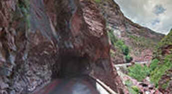
Gorge du Cians is a balcony road in France
Gorge du Cians is a very scenic canyon with stunning red rocks located in the Alpes-Maritimes department, in the Provence-Alpes-Côte d'Azur region of France. It’s one of the French balcony roads.
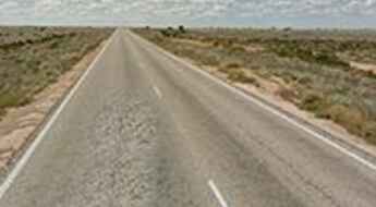
Eyre Highway: driving 146km (91mi) without any turn
Eyre Highway links Western Australia and South Australia via the Nullarbor Plain. It features what is said to be the longest straight stretch of road in the country: 146.6 kilometres (91.1 mi) without any turns. It’s one of the longest roads in Australia.
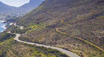
Chapman’s Peak Drive is one of the world's most spectacular coastal drives
Located on South Africa's Atlantic Coast, Chapman’s Peak Drive ranks among the world's most breathtaking coastal drives, offering unparalleled scenic beauty and thrilling twists along the way.
Mount Antero in Colorado is one of the highest roads of North America
Mount Antero is a high mountain peak located in Chaffee County, in the U.S. state of Colorado. A rocky, rough road with a dramatic set of switchbacks ascends to the southwest of the summit, at 4,189m (13,743ft) above sea level. It's one of the highest roads in the USA.
Driving the Clue d’Aiglun, a balcony road in France
Explore the breathtaking Clue d’Aiglun, a stunning canyon nestled in France's Alpes-de-Haute-Provence region. Known for its challenging yet scenic road, this destination offers a thrilling drives and picturesque landscapes. It’s one of the famous French balcony roads.
Grimsel Pass is a 5 stars road in the Swiss Alps
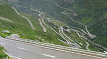
Grimsel Pass is a high mountain pass at an elevation of 2,164m (7,100ft) above sea level, located on the boundary of Bern and Valais cantons of Switzerland. It’s one of Switzerland’s most famous Alpine roads.
Nivolet Pass is The Italian Job road
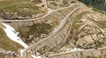
Colle del Nivolet is a high mountain pass at an elevation of 2.621m (8,599ft) above sea level, located in the northern part of Italy. It’s featured in The Italian Job film; the final bus crash scene probably being the most famous. It's one of the highest roads in Italy.
Hana Highway: 617 turns and 46 one-lane bridges in Hawaii
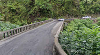
Located on the eastern side of Maui, the second-largest of the Hawaiian Islands, Hana Highway is one of the most scenic drives in the world.
Col du Galibier is an iconic Tour de France climb
Col du Galibier is a high mountain pass at an elevation of 2.645m (8,678 ft) above sea level, located in the French Alps. The legendary road to the summit is one of the most impressive climbs in the country.
Welcome to hell: Khaltaro Valley Road is a scary drive
Tucked away in the Gilgit district, in the Northern Areas of Pakistan, the Khaltaro Valley Road is one of the scariest roads ever. Imagine a narrow gravel road, very steep (up to 15%) with horrendous drops on both sides. Welcome to hell! Only the suicidal, the insane, or the paid-to-do-this should ever drive down.
The road from Patiopoulo to Perdikaki is not for timid drivers
Located in the northeastern part of Aetolia-Acarnania in Greece, the road from Patiopoulo to Perdikaki is one of the most dangerous drives in the world. It's not recommended to attempt this road if you are visiting the country. It's not a fun drive, to say the least. The best way to visit this road is to arrive at Patiopoulo village and then follow the signs for Agia Marina church and then to Perdikaki. Experienced drivers only.
The Ultimate Guide to Traveling the Mineral Bottom Trail in Utah
Mineral Bottom Trail is a very scenic drive located in Grand County, in the US state of Utah. When it's wet, the road can be impassable, especially on the steep switchbacks that descend into the Green river valley on the last part.
Driving the winding and hairpinned 24-Zig Road in China
Located near Qinglong town in Guizhou Province, 24-Zig Road is a curvy mountain road with 24 hairpin turns. The road was built by the Chinese during WWII to transport supplies to help resist the Japanese invasion. It’s one of the most famous hairpinned roads in the world.
Gorges du Nan is a defiant balcony road in France
Gorges du Nan is a spectacular canyon carved by Le Nant River in France. The delightful road cut into the face of a cliff running through the gorge is one of the most famous French balcony roads.
Burr Trail is an unforgettable scenic drive in Utah
Burr Trail is a very scenic drive in the US state of Utah. Although in dry weather it's easily accessible to passenger cars, wet weather may make the road impassable even for 4WD vehicles. It’s one of the famous hairpinned roads in the world.
Via del Sale is a military road through the Ligurian Alps
Via del Sale, also known as Route du Marguareis, Piste de l'Amitié, and Ligurische Grenzkammstrasse, is a legendary 4x4 road nestled in the heart of the Ligurian Alps in the northern part of Italy.
Driving the wild road to Mangart Pass in the Julian Alps
Mangartsko sedlo is a high mountain pass at an elevation of 2,067m (6,781ft) above sea level located in Slovenia. It’s said to be the highest-lying road in the country.
